Atlas

Atlas of Oceanographic Conditions in the Strait of Georgia
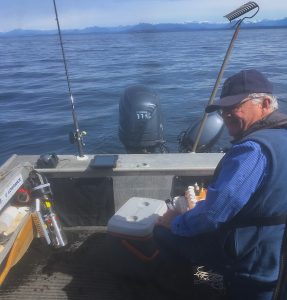
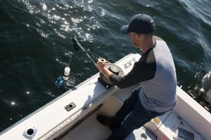
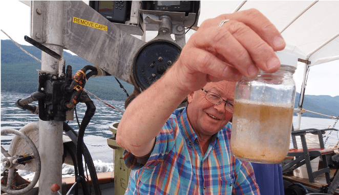
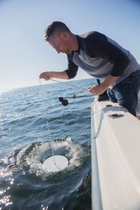
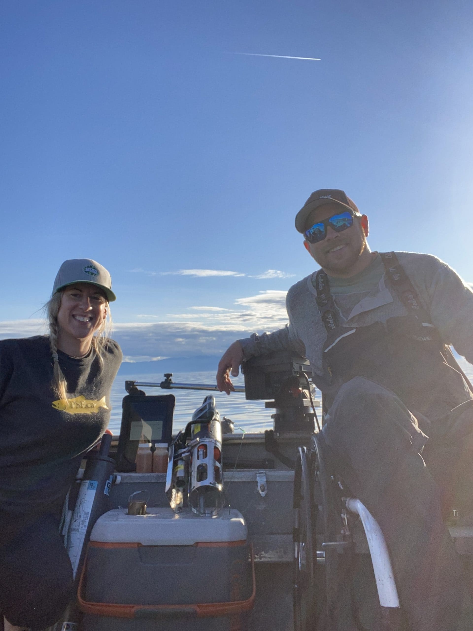
Welcome to the Atlas of Oceanographic Conditions in the Strait of Georgia, based on the Pacific Salmon Foundation's Citizen Science Dataset. The "PSF CitSci" Program visits about 60 locations in the Strait roughly 20 times a year to measure a variety of ocean properties, resulting in around 1000 stations sampled every year. Additional information in the atlas comes from stations sampled by the Hakai Institute in the far northern Strait of Georgia, the T'Sleil Waututh and Snuneymuxw Community Fishers programs in Burrard Inlet and the Nanaimo area respectively. Some information is also provided from the zooplankton archive of Fisheries and Oceans Canada and from the Washington State Department of Ecology.
Oceanographic information about the Strait of Georgia in this atlas is divided into different sections concentrating on Hydrography (temperature, salinity, dissolved oxygen content, and total chlorophyll), Nutrients (the major macronutrients that support plant life in the Strait), Harmful Algae, and Zooplankton.
Key Figures

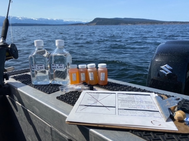
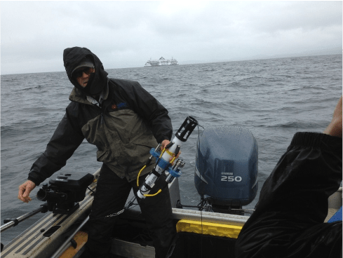
PSF CitSci station locations, as well as other sources of oceanographic data for the Strait of Georgia. Track plans for each patrol are shown in red. All stations along the track have hydrographic profiles using a conductivity-temperature-depth (CTD) probe, "Full" stations also include water sampling for nutrients, and "busy" stations also include both nutrients, chlorophyll, and phytoplankton sampling.


Mean near-surface conditions for the Strait of Georgia since 2015. This figure summarizes thousands of stations, the combined efforts of dozens of people over many years.
Recently, higher river flows are reflected in lower surface salinities. Summer silicate concentrations are also noticeably higher. Planktonic biomass (Chlorophyll) can vary greatly from year to year.
The right-hand figure shows the same data in a different way. Here we emphasize climate anomalies. First, we create a seasonal mean by averaging data from all years for each week of the year. Then, we compare the data from any particular year with this mean, colouring the curves red if the values for that time are higher than the mean, and colouring them blue if they are lower.


Instead of a line plot that shows condition at particular depths, here we try to show mean conditions at all depths for the Strait of Georgia by contouring the data over 2D axes of depth (vertical) and time (horizontal). In order the emphasize conditions near the surface, the vertical scale is exaggerated near the surface and compressed at depth.
White lines in upper (temperature) subplot indicate temperatures of 17ºC, above which salmonids show stress, and in the third row O2 concentrations of 187 μM (or 6ppm), below which salmonids also show stress. Even though the Strait can be up to 400m deep, salmonids are squeezed into a narrow depth range of only about 15m in late summer! The lowest row shows Chlorophyll concentrations, which are a measure of the amount of phytoplankton - the base of foodwebs that fish rely on (and are part of).
Below we see the same data over the same grid of time and oceanographic parameters, but now presented as 'seasonal anomalies', with red indicating values higher than the average for that time of year and depth, and blue indicating lower values.
Deeper waters were somewhat warmer (and slightly fresher) in 2015 and 2016 in the aftermath of the marine heatwave known as the "Pacific Blob", but warmer and slightly saltier in 2019. 2022 and 2023 were relatively cool, with a slight warming in late 2023 probably related to developing El Nino conditions, and with slightly increased salinity.

Time series for the Harmful Algae Heterosigma akashiwo since 2015. A particularly large bloom over the whole Strait occurring in June 2018 was associated with the death of 250,000 fish at 2 fish farms in Jervis Inlet. Note also a bloom in English Bay in 2022.
To take a closer look at the regional and seasonal variation, interannual variation and methods, follow the thumbnails below for Hydrography, Nutrients, Harmful Algae, and Zooplankton data.