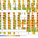
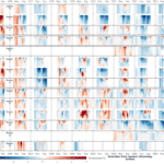
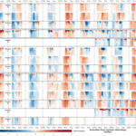
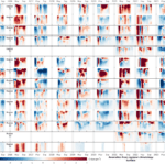
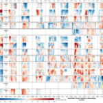
Time-Depth plots of Interannual Variation
Time-Depth plots of regional interannual variation
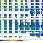
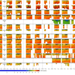
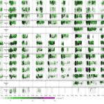
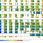
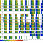
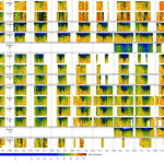
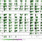
Contour plots for temperature, salinity, chlorophyll and oxygen in each region over all years. For temperature, the white line indicates 17°C, and for dissolved oxygen, the white line indicates 187 uM or 6 ppm. Region boundaries are indicated in the map at lower right.
Contours are not extended through the winter months when sampling does not occur.
Full water column plots are useful for seeing the changes over the whole water column, but for many purposes it may be more useful to examine changes only over the upper 25m.
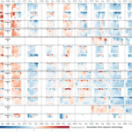
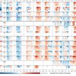
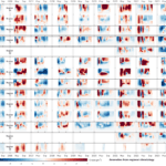
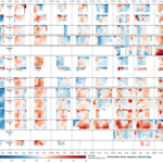
In addition to the data plots, we also provide seasonal anomaly plots, in which red areas indicate values higher than average for that location/time, and blue areas indicate values lower than average for that location/time.


